On the weather. There is too much rain coming this week to the Midwest for best corn planting, so next weeks number may still be a bit behind the average which is probably around 68%. The week after that it goes up to around 84%, then 92%. With the heat coming, probably we will catch up:
http://www.wpc.ncep.noaa.gov/qpf/day1-7.shtml
As expected, we have a heat ridge taking over much of the country as evidenced by the large area of above temps in the extended guidance. I was never sure where the heat ridge would be but sure it was coming. This is potentially very bullish if it continues. Weather planting delays never last long as the market knows the crop will eventually get planted, then it trades growing weather.
The heat ridge is building in week 2 and longer range products, though not reliable continue that trend. The question now is not IF the heat ridge will become bullish but WHEN.......if it stays on the maps for another 2 weeks.
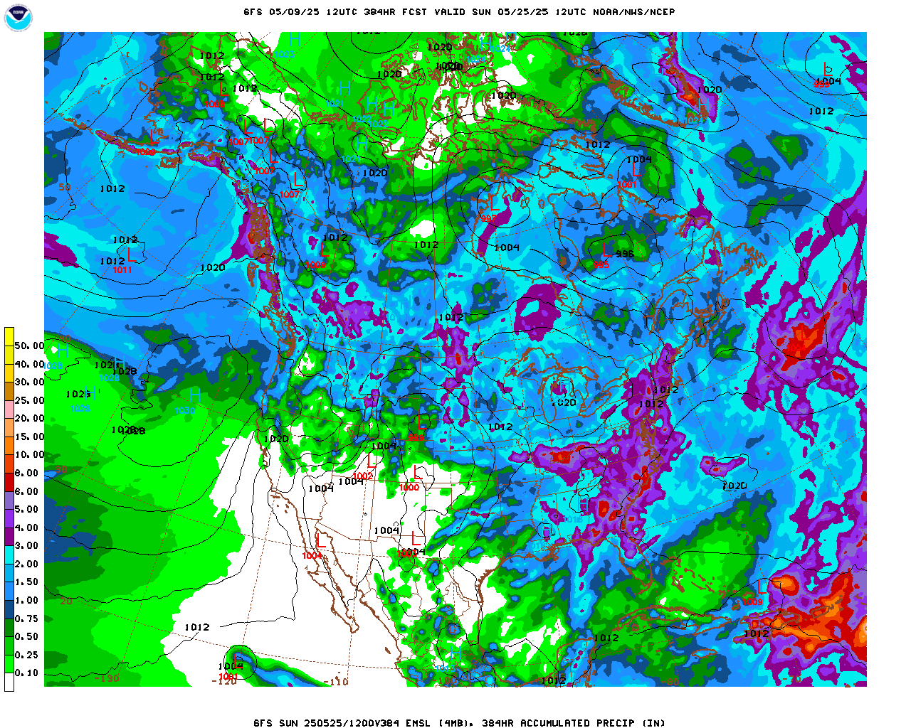
With heavy rains this week, it makes it even trickier. The problem is that there is a good chance at this time of year, for the periphery of the heat ridge to feature excessive rains. The last run of the GFS is trying to predict 10 inches of rain in NE/IA late in week 2 from this..............but its probably wrong. That map is at the bottom of the page. The GFS has tried to do this on some recent runs the past 2 days. If it continues, maybe its on to something(the NWS does not have this)
What is certain is that we will have some near record heat under a heat ridge that dominates much of the country for at least a week and getting stronger. The market does not like extreme weather unless we are offsetting the opposite extreme(the recent cold and slow planting may delay the heat ridge weather scare)
http://www.cpc.ncep.noaa.gov/products/predictions/814day/index.php
| |
Testing to see if the text of other posts below the big weather map above are effected
Weather here on Tuesday is not much different than Monday's outlook.
Too much rain in the Upper Midwest for good planting this week. Then a heat ridge expands over a good part of the country in week 2. It's location will be a key to how much rain falls.
I am still looking at the potential of some heavy rains along the periphery of the heat ridge.
Because of the high heat and humidity that feeds into any stalled front or jet stream along the periphery, the potential for excessive rains is there.......if the heat ridge is in the south or southeast and we have a trough in the West to the Rockies, with energy/perturbations feeding into the Plains.
IF the heat ridge is farther west and north, lets say Midwest to Plains, then it defeats rain making mechanisms.
Thank You Kindly Mike....
YW Jim, Silverspiker,
Here are the main surface features for the next week, days 3-7. This was just updated mid-day Tuesday. Am trying out these maps for the first time. It's great if they show up well but am concerned that people who come here on Wed or Thu will see old maps. Of course I intend to update as the week goes on when possible:

I will also have to decide on how long a thread is allowed to get.
Weather update, for instance was from yesterday. It's not excessively long right now but if we get enough responses, I may replace that with Weather update Wednesday, Thursday and so on.
Latest extended guidance from the NWS has really beefed up the rainfall totals..........as I was suggesting previously.
When we get a stalled front or jet stream coming in along the periphery of a heat ridge, the very warm/humid air and southerly flow coming from the heat ridge provides the ingredients for very heavy rains.
Temperature Probability | |
Precipitation Probability | |