https://www.dtnpf.com/agriculture/web/ag/news/article/2018/06/20/grains-take-small-step-toward
Morning CME Globex Update:
Recent beneficial rains across the heart of the Corn Belt have added to the favorable yield prospects of the 2018 corn and soybean crops, but yield prospects may not be driving market performance this week. Just as recent futures market losses were tied to trade anxieties, Wednesday morning's light gains are tied to the broad recovery in outside markets now that most of the damage to U.S. exports may be 'priced in.'
Crop ratings from Monday Afternoon:
Corn actually went up +1% GD/EX. Not a surprise considering how much rain fell in the key corn areas.
Beans went down -1% GD/EX, not a surprise considering MO/AR have missed all the rains and they grow more beans than corn. MO has 19% P/VP, which is what would have happened to other states if the huge rains did not come in the nick of time.
Cotton plunged more.......-4% in the GD/EX but +5% in the P/VP for the 2nd week in a row, with 26% of the crop in this category. The TX/OK crop is doing horrible but also AL has 15% P/VP. Huge acres planted this year but the crop is just 38% GD/EX vs 61% last year.
Big rains in the north caused the Spring Wheat crop rating to soar +8%, to a near record 78% vs 41% GD/EX last year.
http://usda.mannlib.cornell.edu/usda/current/CropProg/CropProg-06-18-2018.txt
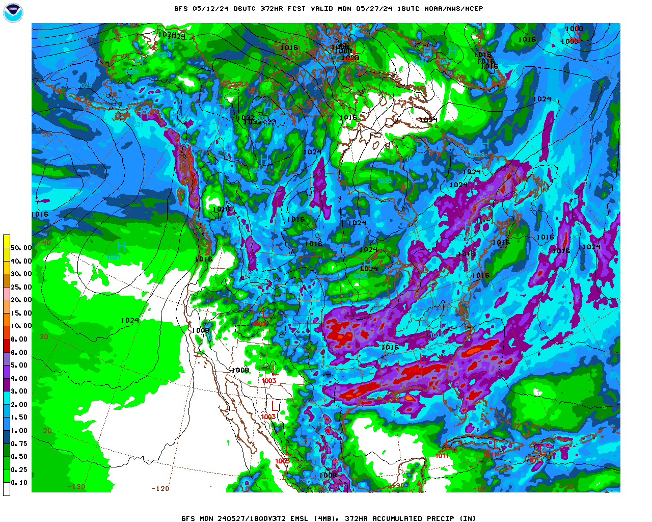
Rains from the last GFS..............though obviously, there is more going on.

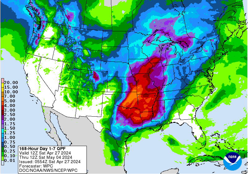
Rains(make grain) the next 7 days .........dumping on key growing areas for corn/beans over the top of the heat ridge in the south. Some places will have excessive rains but rain makes grain now.
See Weather thread for more detatils.
Total accumulation
http://www.wpc.ncep.noaa.gov/qpf/p168i.gif?1526397762

This is what the week 2 dome looked like on the last operational 06z GFS. If not for gobs of rain in week 1, the week 2 forecast would actually be bullish. However, after tons of week 1 rains, many places would probably prefer a week of drier weather.
It will need to extend to 2 weeks of dry weather to become bullish.
gfs_namer_384_200_wnd_ht | gfs_namer_384_500_vort_ht |
gfs_namer_384_1000_500_thick | gfs_namer_384_850_temp_ht |
CFS weeks 3 and 4 really heats things up..............and dries it out.
Take this model's forecast to the bank....................bankruptcy that is (-:
It has showed this same thing for many days now, which increases confidence.

Turns drier in some places
