Lots of rain in key locations.
Forecast for rains below:
Day 1:
http://www.wpc.ncep.noaa.gov/qpf/fill_94qwbg.gif?1526306199054

Day 2:
http://www.wpc.ncep.noaa.gov/qpf/fill_98qwbg.gif?1528293750112

Day 3:
http://www.wpc.ncep.noaa.gov/qpf/fill_99qwbg.gif?1528293842764

Days 4-5:
http://www.wpc.ncep.noaa.gov/qpf/95ep48iwbg_fill.gif?1526306162

Days 6-7:
http://www.wpc.ncep.noaa.gov/qpf/97ep48iwbg_fill.gif?1526306162

7 Day Total precip:
http://www.wpc.ncep.noaa.govcdx /qpf/p168i.gif?1530796126

Excessive Rainfall threat.
Current Day 1 Forecast |
Day 1 Threat Area in Text Format
Current Day 2 Forecast |
Day 3 forecast below

Severe Storm Risk........not very high with the storms. Press your cursor on the map for full screen.
https://www.spc.noaa.gov/products/outlook/
Current Day 1 Outlook | Forecaster: Hart/Kerr Issued: 18/1240Z Valid: 18/1300Z - 19/1200Z Forecast Risk of Severe Storms: Slight Risk |
Current Day 2 Outlook | Forecaster: Bunting Issued: 18/0600Z Valid: 19/1200Z - 20/1200Z Forecast Risk of Severe Storms: Marginal Risk |
Current Day 3 Outlook | Forecaster: Bunting Issued: 18/0731Z Valid: 20/1200Z - 21/1200Z Forecast Risk of Severe Storms: Marginal Risk |
Current Day 4-8 Outlook |
High Temperatures today and Saturday......very warm to hot in alot of places.


Heat and high humidity .....feels like temperature!

Highs days 3-7 shows Cool Upper Midwest then Northeast.


How do these temperatures compare to average at this time of year. Getting back down closer to average in the Midwest! Heat backs up to the West!
High temperature departures:

Low Temperature Departures:

Satellite picture.

Rains the past 24 hours. NE/SD to MN/WI/MI.
![]()
You can go to this link to see rain totals from recent time periods:
https://water.weather.gov/precip/
Go to precipitation, then scroll down to pick a time frame. Hit states to get the borders to see locations better. Under products, you can hit "observed" or "Percent of normal"
Drying out the last week(before rains the last day)
https://www.atmos.illinois.edu/~snodgrss/Ag_Wx.html


Missouri/Arkansas to S.Plains in bad shape


Drought Monitor

The longer range, week 3 and week 4 forecast cool north....hot south.

Precip below:

Temperature Anomalies from GFS ensembles going out 2 weeks:
Today: Very Warm to Hot
In 5+ days:
Hot West, Cool Midwest
In 10+ days Hot West cool Midwest/East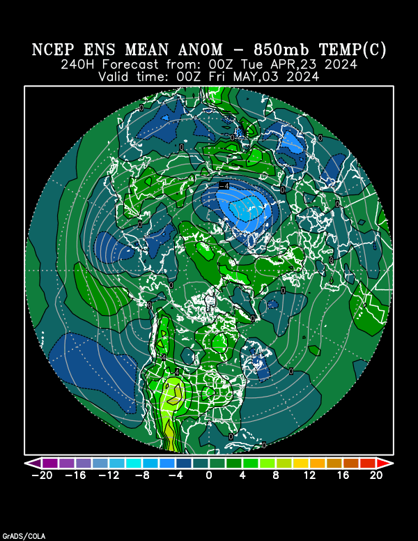
Day 15 Hot West, Cool East
Last 0Z run of Canadian ensembles. Compared to previous runs, weaker trough in the east, strong upper level ridge in Western Atlantic backing up towards East Coast and nudging out the trough.
More members with US dome farther east than yesterday(trying to hook up with W.Atlantic ridge)..........but this is just 1 run.
360h GZ 500 forecast valid on Jul 28, 2018 00UTC


Forecasts for global GEM, control (GEM 0) and the 20 ensemble members
The 12Z GFS operational model is incredibly cooler in the Midwest/East during week 2 with widespread below to even some much below normal temperatures.........although its a bit warmer in week 1 than 0z run was.
gfs_namer_312_200_wnd_ht | gfs_namer_312_500_vort_ht |
gfs_namer_312_1000_500_thick | gfs_namer_312_850_temp_ht |
Last 12z Canadian ensembles slightly cooler with late week 2 solution for the same reason that the 12z GFS was cooler but not so extreme.
360h GZ 500 forecast valid on Jul 28, 2018 12UTC


Forecasts for global GEM, control (GEM 0) and the 20 ensemble memb
The NWS extended forecasts are below.
Cool Midwest/East, hot West. Rains normal to below.
Temperature Probability 6-10 day |
Precipitation Probability |
Temperature Probability 8-14 day | |
Precipitation Probability | |
NWS: Weeks 3-4: Cool Midwest. Hot West to Southern US. Widespread dry Midwest to S.Plains.
| Week 3-4 Outlooks | ||
| Valid: 28 Jul 2018 to 10 Aug 2018 Updated: 13 Jul 2018 | ||
| Please provide comments using the online survey. | ||
Temperature Probability | Precipitation Probability (Experimental)  | |


