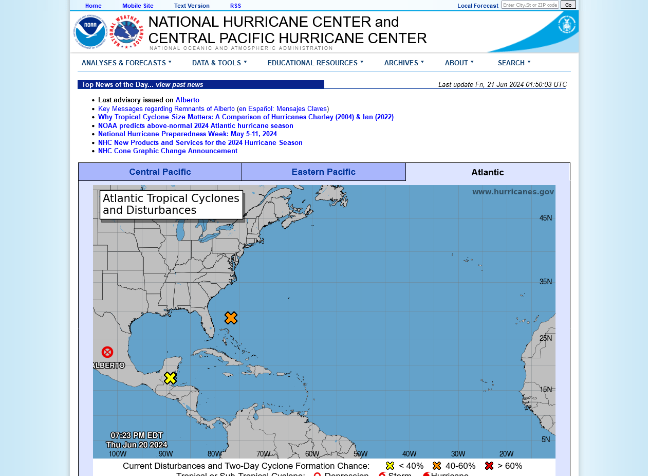
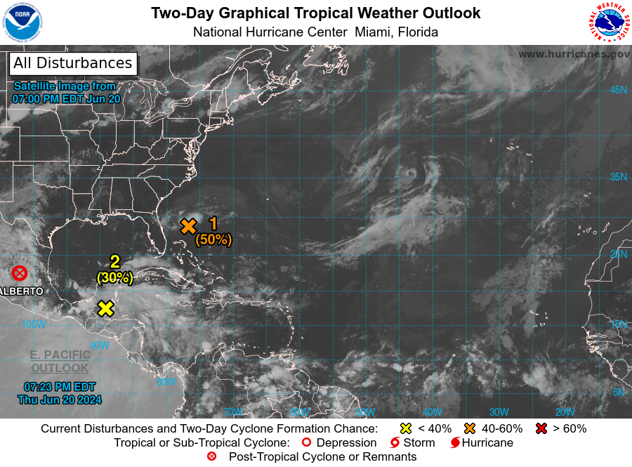
I’m watching carefully a surface low ~250 miles off the SE US coast moving WNW. It at least appears like it is getting better organized. Note the increased convection in the satellite image below and the more circular shape of the colder clouds (tops of convection). Also, note that this is only a couple of hours after DMIN, when convection is typically at a minimum. DMAX comes late at night and is when tropical convection tends to maximize:

In addition, it is headed toward significantly warmer SSTs in the Gulf Stream. SSTs where it is now (near 29N, 77W) are only ~81 F, but they rise to a peak of ~84 F in the Gulf Stream: