Next 7 days of rain:
http://www.wpc.ncep.noaa.gov/qpf/fill_94qwbg.gif?1526306199054
http://www.wpc.ncep.noaa.gov/qpf/day2.shtml
http://www.wpc.ncep.noaa.gov/qpf/day3.shtml
http://www.wpc.ncep.noaa.gov/qpf/95ep48iwbg_fill.gif?1526306162
http://www.wpc.ncep.noaa.gov/qpf/97ep48iwbg_fill.gif?1526306162
Total accumulation
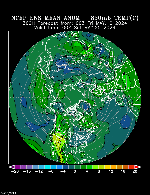
Heat/cold anomalies for Northern Hemisphere in 2 weeks:
https://www.esrl.noaa.gov/psd/map/images/ens/t850anom_f360_nhbg.gif

Here's a new map showing extreme weather(hazards) risks. This will be updated in 3 hours:
http://www.cpc.ncep.noaa.gov/products/predictions/threats/hazards_d3_7_contours.png

Tomorrow, we will get the updated monthly(June)/seasonal outlooks from the NWS.
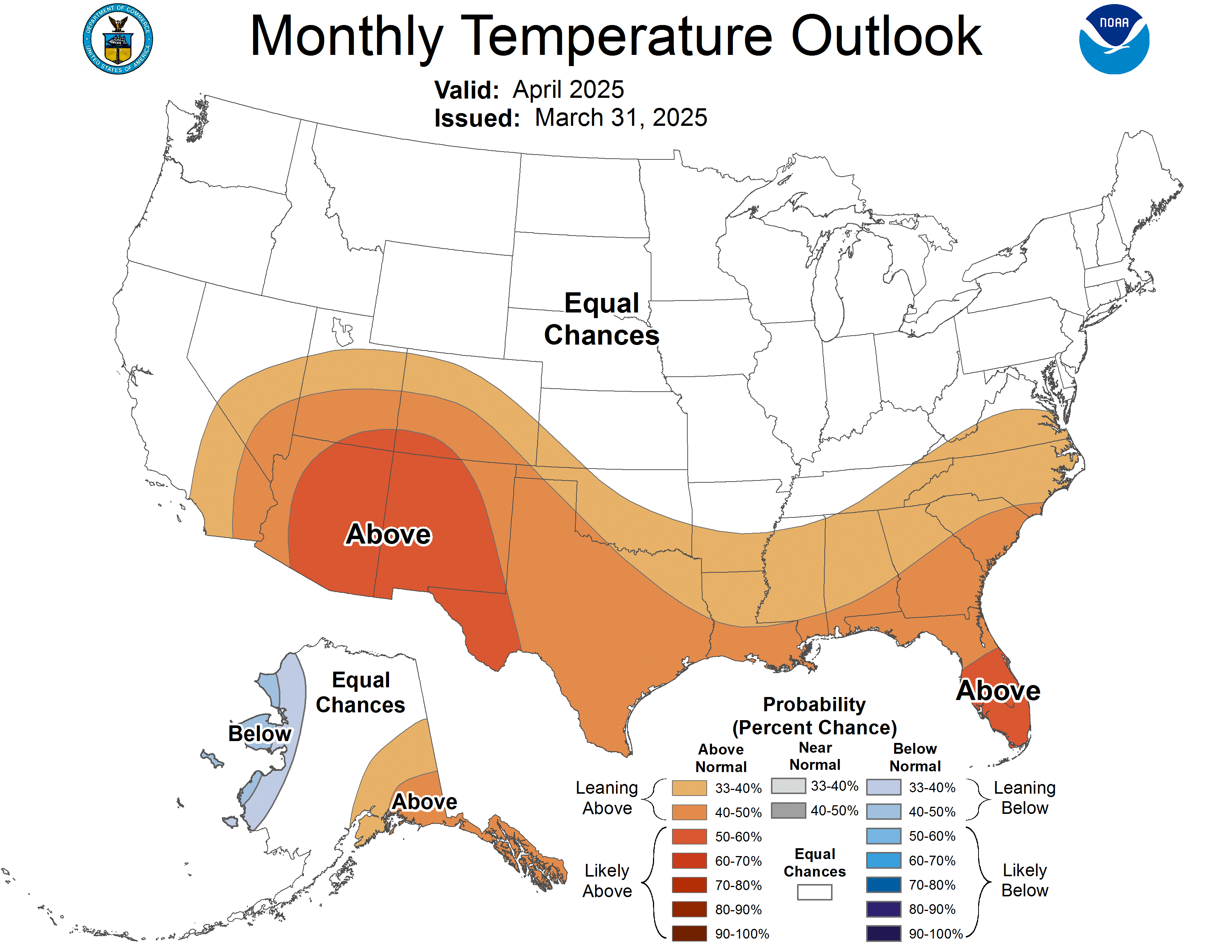
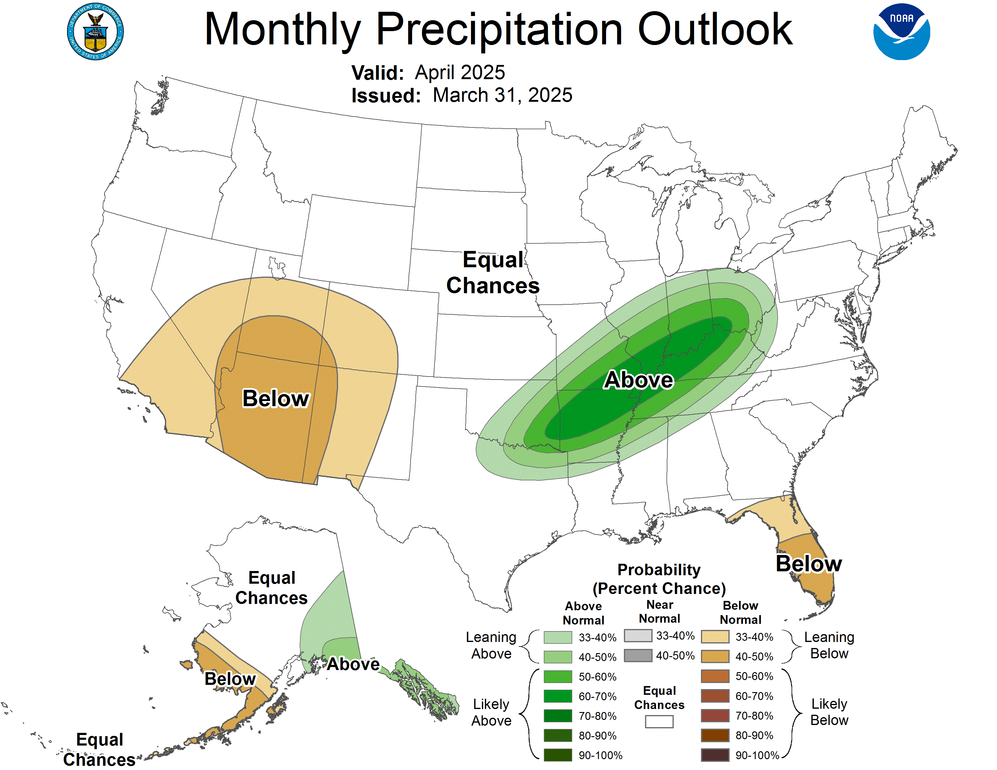
How have they done so far for May with the forecast below made on April 30th?
http://www.cpc.ncep.noaa.gov/products/predictions/long_range/lead14/
 |
| Revised OFFICIAL Forecasts |
| May 2018 |
| [UPDATED MONTHLY FORECASTS SERVICE CHANGE NOTICE] [EXPERIMENTAL TWO-CLASS SEASONAL FORECASTS] |
 |
 |
| Click on individual map to view larger format |
NWS week 2 forecasts were, once again very warm and mostly wet.
http://www.cpc.ncep.noaa.gov/products/predictions/610day/
http://www.cpc.ncep.noaa.gov/products/predictions/814day/index.php
| the 8-14 day outlooks ArchivesAnalogsLines-Only FormatGIS Data | |
Temperature Probability | |
Precipitation Probability | |
Latest European ensembles has 100 degree heat during the last few days of May, spreading from the S/C Plains into the C/S. Midwest. This would be record heat that would break daily highs.......possibly approach monthly records. Soils may be too moist for that though.
With that kind of heat, the rain better come through. Less than expected will bring some interesting results.
Agree Jim, even if the rain does come thru, this would be very bullish.
I would like to see more confirmation of the pattern being this extreme, however.
No way the market has this but it does fit with the pattern.
Below was the previous solution for the same model. The ridge was in 2 pieces, one MUCH farther west and another farther northeast associated with the northern stream. The intense heat was much farther west. This previous solution of the same model was actually bearish.
I have been convinced for 3 weeks that a major heat ridge would dominate much of the country..........its just a matter of how big and where it will be. The othere guidance is lining up to support this European model solution, just not as extreme.
I would like to see more confirmation but am leaning towards this extreme solution because of the pattern.
Another thing to note again...............every model, every forecast and every forecaster for everytime frame has been too wet the past 2 weeks.....including me.
Unless the GFS shows this, the market may not get all that bulled up. The GFS DID show this on Monday Evening which is why we saw the grains take off after the open.
The maps below were from the same model on its previous solution. It went from bearish below to mega bullish maps on the post above.