Something went wrong with the first thread and it won't allow any comments, so we started a new one here:
https://www.marketforum.com/forum/topic/74816/
Tropical Storm Nicholas
Started by metmike - Sept. 12, 2021, 4:25 p.m.
Not major but should cause a few days of shut ins until it passes.
https://www.nhc.noaa.gov/graphics_at4.shtml?start#contents
https://www.nhc.noaa.gov/text/refresh/MIATCDAT4+shtml/121502.shtml?
![[Key Messages]](https://www.nhc.noaa.gov/storm_graphics/AT14/refresh/AL142021_key_messages+png/174537_key_messages_sm.png)
metmike: Strengthening a tad before making landfall later today, maybe to a bare min hurricane but no damage to ng.


https://www.spc.noaa.gov/exper/mesoanalysis/new/viewsector.php?sector=15


Looks like the track has turned a bit east in the last hour. Look out west LA.
The main change in the forecast is to slow it down, which means heavier rains along the path. Close to 10 inches in southeast TX!
The latest rain forecasts are below.
Day 1 below:
http://www.wpc.ncep.noaa.gov/qpf/fill_94qwbg.gif?1526306199054

Day 2 below:
http://www.wpc.ncep.noaa.gov/qpf/fill_98qwbg.gif?1528293750112

Day 3 below:
http://www.wpc.ncep.noaa.gov/qpf/fill_99qwbg.gif?1528293842764

Days 4-5 below:
http://www.wpc.ncep.noaa.gov/qpf/95ep48iwbg_fill.gif?1526306162

Days 6-7 below:
http://www.wpc.ncep.noaa.gov/qpf/97ep48iwbg_fill.gif?1526306162

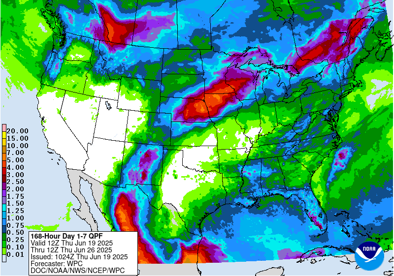
7 Day Total precipitation below:
http://www.wpc.ncep.noaa.govcdx /qpf/p168i.gif?1530796126

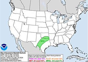
Excessive rain threat.
https://www.wpc.ncep.noaa.gov/qpf/excess_rain.shtml
Day 1 Threat Area in Text Format
Current Day 2 Forecast |
Severe Storm Risk.
https://www.spc.noaa.gov/products/outlook/
Current Day 1 Outlook | |
Current Day 2 Outlook | |
Current Day 3 Outlook | |
Current Day 4-8 Outlook |
The NHC is calling Nicholas a min. cat. 1 hurricane this evening.
Nicholas is down to 45 mph and continues to weaken and slow down.
There's the outside chance that it could completely stall over LA, which would increase the rain amounts a bit there.
Scroll up for the latest data that is continuously updated.
Nicholas continues to weaken and move extremely slow. The NHC made their last advisory/discussion last night. See the graphics above for the latest.