Earlier today Joe Bastardi, who has had a well-known cold and snow bias for many years, posted the following Tweet regarding a very cold CFS map from the 6Z 3/8 run for the next 30 days showing a large area of the E US 8-14 F colder than normal, something that has not on record come close to happening during that period over that large of an area:
https://mobile.twitter.com/BigJoeBastardi/status/1633494002300334086/photo/1
A big part of the problem here and in other CFS Twitter posts is that the CFS is strongly cold biased, especially over snowcover. And the CFS often has snowcover when it isn't realistic. It has snowcover when it shouldn't because it is cold biased. So, it becomes a vicious cycle.
Just as an example of this strong CFS cold and snow bias since RDU is one of the cities in the heart of the extreme cold, I'll analyze all of the major 0Z 3/8 model runs for hour 132 at RDU (for 12Z on Monday 3/13):
First of all, RDU NWS has a forecast for RDU Sun night of rain and a low in the lower 40s:
"SUNDAY NIGHT RAIN LIKELY. LOWS IN THE LOWER 40S. CHANCE OF RAIN 70 PERCENT."
The 0Z 3/8 CFS has ~1" of snowcover as of 12Z on 3/13 because it is cold biased and had a high near 36 the day before with wintry precip falling vs a high from the mid 40s to low 50s on the other models with rain/no snowcover on the other models:
https://www.pivotalweather.com/model.php?m=cfs&p=snod-imp&rh=2023030800&fh=132&r=conus&dpdt=&mc=
Partially as a result of this snowcover, the 0Z 3/8 CFS has RDU at an unrealistically cold 32 as of 12Z on 3/13:
https://www.pivotalweather.com/model.php?m=cfs&p=sfct-imp&rh=2023030800&fh=132&r=conus&dpdt=&mc=
Now, I'll compare the CFS' 32 with the 0Z 3/8 runs of the other major models and the already mentioned NWS for 12Z on 3/13 at RDU (they all have rain and no snowcover):
Euro 49
UKMET 43
GFS 43
CMC 42
ICON 42
NWS 42
CFS 32
Followup:
1. RDU did actually get snow and sleet on 3/12, but there was only a trace vs the aforementioned CFS run's wintry precip that lead to 1" of snowcover.
2. The actual high at RDU on 3/12 was only 41. So, although the CFS' ~36 did end up too cold, the other models with their mid 40s to low 50s were all too warm with some ~10 too warm.
3. The actual 12Z (8AM EDT) temperature on 3/13 was 40. So, the CFS' 32 verified 8 too cold. But the Euro's 49 was 9 too warm. The other 4 along with the NWS were also too warm but only by 2-3.
4. In summary the CFS verified too snowy and cold as expected, but the others were too warm.
Thanks much, Larry!
Great points and proven with data.
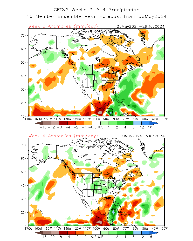
I've never used the CFS, except for low skilled weeks 3-4 because there isn't alot of reliable model forecasts available then.
https://www.ncei.noaa.gov/products/weather-climate-models/climate-forecast-system